
Drones to be used for road planning
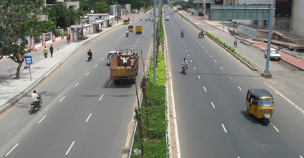
The roads of India are soon to be planned using satellites and drones. A Memorandum of Understanding (MoU) has been signed by NHAI with ISRO to use satellites and drones for monitoring road construction in the country.
With the use of drones, implementation of road construction projects will be more effective and timely maintenance becomes easier.
Nitin Gadkari, the Road Transport and Highways Minister stated that there is an urgent need in India for modern management system for roads.
In order to reach their aim, NHAI is planning on using ‘GAGAN’ (GPS aided Geo Augmented Navigation) and ‘BHUVAN’ satellite systems. They will be used to make a 360-degree mapping of all national highways by 2017. This plan comes under NHAI’s road assets management system (RAMS).
RAMS is made with international best practices in mind. Combined with BHUVAN satellite images, NHAI can get accurate and scientific planning of road projects. They also make maintenance of roads and execution of road safety measures and development of the National Highways network in India easier.Using this system, NHAI will be conducting timely repair of roads and hold maintenance. They can easily monitor road progress and also formulate detailed project reports (DPR), etc.
This project is funded by the World Bank. This project will bring both public-funded and private-funded roads under one section. Data from this project will be stored and maintained by a web based application which will be hosted in the public domain. The data can be used by the NHAI, state PWDs, police departments, funding agencies, transport ministry, finance ministry, developers and citizens.
You may also like


Image Reference: The Better India
Recent Posts
- Kisan Veer Mahavidyalaya, Wai, a legacy of academic excellence
 The institution was renamed Kisan Veer Mahavidyalaya to honour his remarkable contribution to education.
 - DCP Sachin Gore, who busted Thane’s major egg donation racketAt least 25 women had allegedly undergone illegal egg donation procedures over nearly three years.
- Parliament prepares key exam Bill as part of education reformsThe Monsoon Session, which began on July 20, will continue until August 13.


WeRIndia – A News Aggregator
Visit werindia.com for all types of National | Business | World | Politics | Entertainment | Health related news and much more..

Opinion Polls
 Loading ...
Leave a Reply