

India’s digital addressing shift gets a major upgrade
Location intelligence in India is rapidly evolving into a high-precision digital system.
Navigation is no longer limited to finding routes. Instead, it is becoming a structured identity framework for every address.
The Mappls, built by MapmyIndia, now delivers advanced navigation features. These include real-time traffic updates, estimated arrival times, and accurate doorstep-level routing.
Additionally, it introduces Mappls ID, a unique digital identifier for sharing precise locations.
A major development is its integration with DIGIPIN, the digital addressing system developed by India Post. This system generates a 10-character alphanumeric code for any location. It is based on a fine 3.8-meter grid, enabling highly accurate geolocation across India.
Furthermore, this integration strengthens India’s broader digital infrastructure goals. It supports national missions such as Digital India and Aatmanirbhar Bharat.
It also improves efficiency in logistics, governance, and emergency response systems by reducing ambiguity in address identification.
At the same time, Mappls combines DIGIPIN with its own Mappls Pin framework. This hybrid system adds contextual layers like building names, floor details, and nearby landmarks.
As a result, users can locate even unmapped or difficult-to-find destinations with greater accuracy.
In addition, the platform offers extensive mapping coverage across nearly 200 countries. It includes detailed road-level attributes such as tolls, lane directions, one-way restrictions, service roads, ramps, and flyovers. Therefore, it enhances both urban commuting and rural navigation experiences.
This system also reflects global trends in digital addressing, similar to what3words. However, DIGIPIN is uniquely designed for structured national integration under India Post, making it more suitable for official and large-scale applications.
According to MapmyIndia, the DIGIPIN feature is now fully operational for users and developers. It aims to reduce delivery errors and significantly improve last-mile logistics accuracy.
This development transforms navigation into a foundational digital layer for India’s economy, linking physical spaces with precise, standardised digital identities.
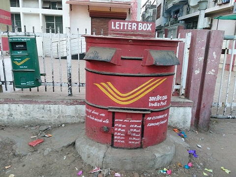
Image Credit: Niraj Hitesh Chauhan, CC BY-SA 4.0, via Wikimedia Commons
You may also like




Image Reference:
https://commons.wikimedia.org/wiki/File:India_Post_Letter_Box.jpg

Recent Posts
- CSIR-NCL Recruitment 2026: 24 MTS Vacancies
 CSIR-NCL will conduct a competitive written examination for provisionally eligible candidates.
 - Voter Roll Revision Begins Ahead of 2027 Polls
 Citizens can submit claims and objections until December 11.
 - Assam Artist Creates Durga Idol Using 50,000 Safety PinsBlending devotion with extraordinary creativity, an artist from Assam has transformed thousands of ordinary safety pins into a stunning idol of Goddess Durga. Sanjib Basak, a government employee from Dhubri, spent over three months crafting the unique creation, which will be displayed at Rashmi Sangha Puja Mandap in Panchmor.
WeRIndia – A News Aggregator

Visit werindia.com for all types of National | Business | World | Politics | Entertainment | Health related news and much more..