
ISRO launches IRNSS-1H– All you need to know
On August 31st, 2017, the Indian Space Research Organization (or ISRO) will launch the latest Indian navigation satellite from the second launch pad of the Satish Dhawan Space Center, located in Sriharikota.
Called the IRNSS-1H, this satellite has a significance in being the first satellite in which the private sector is actively involved. The IRNSS-1H will be a replacement for the IRNSS-1A, whose three atomic clocks have now all failed.
The Launch Authorization Board (or LAB) and the Mission Readiness Review (or MRR) have both begun the countdown for the liftoff of the satellite. With it almost ready to be launched into orbit, these are some key facts to know about the IRNSS-1H.
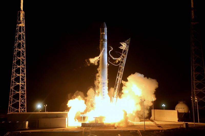
The IRNSS-1H will be carried out into orbit by the Polar Satellite Launch Vehicle (or PSLV) rocket XL variant. The rocket will blast off at about 7:00 p.m. local time. About nineteen minutes after the blastoff, the PLSV will sling the satellite at an altitude of around 507 kilometres.
The satellite, which weighs about 1,425 kilograms, will orbit the Earth in a sub Geosynchronous Transfer Orbit (or sub-GTO). This orbit will have a 284-kilometre perigee and a 20,650-kilometer apogee. Signature to the IRNSS series, the IRNSS-1H will carry two types of payloads, a navigation payload and a ranging payload.
The IRNSS-1H is equipped with two solar panels. Once they are automatically deployed, the Master Control Facility (or MCF) will control the satellite. The MCF will place the satellite in its designated orbit.
The navigation system of the IRNSS-1H, Navigation with Indian Constellation (or NavIC), is similar to the American GPS. The NavIC has nine satellites, seven of which are in orbit and two of which are backup. The IRNSS-1H is one of the backup satellites.
The NavIC has several helpful uses. It helps guide fishermen to the best fishing areas, and also warns them of bad weather or dangerous ocean conditions.
The NavIC also helps commuters track their travelled distance and allows transport operators to track their moving vehicles.
It also allows railways to track moving trains and to give out alerts of unmanned level crossings.
Image from Pxhere (Free for commercial use / CC0 Public Domain)
You may also like


Image Reference: https://pxhere.com/en/photo/893779
Recent Posts
- Parliament prepares key exam Bill as part of education reforms
 The Monsoon Session, which began on July 20, will continue until August 13.
 - Nilekani heads exam reform task forceThe government aims to restore public confidence in India's examination system and safeguard students' futures.
- Nandan Nilekani to lead exam reform panelPrime Minister Narendra Modi has formed a high-powered task force led by Nandan Nilekani to recommend reforms for India's examination system and strengthen the National Testing Agency. The expert panel will focus on improving transparency, integrating technology, and enhancing the credibility of competitive examinations such as NEET.


WeRIndia – A News Aggregator
Visit werindia.com for all types of National | Business | World | Politics | Entertainment | Health related news and much more..

Opinion Polls
 Loading ...
Leave a Reply